Perspective - (2022) Volume 10, Issue 1
PROGRESS OF MODERN AGRICULTURE TECHNIQUES
Vishwa Kalukurthi*Received: Mar 02, 2022, Manuscript No. JHRE-22-62060; Editor assigned: Mar 07, 2022, Pre QC No. JHRE-22-62060(PQ); Reviewed: Mar 21, 2022, QC No. JHRE-22-62060; Revised: Mar 28, 2022, Manuscript No. JHRE-22-62060(R); Published: Apr 07, 2022, DOI: 10.30876/2347-7393.22.10.193
Description
The use of technology to enhance the effectiveness of agriculture practices has increased extensively. Discoveries in the field of science and technology have enabled cultivators to effectively use their input to maximize their yield; these advancements have been greatly supported by the use of sophisticated machineries, planting practices, use of manures, herbicides and pesticides. At the present moment, the success of large-scale agriculture largely relies on geographic information technology.
Precision agriculture
Precision agriculture, or perfection farming, is thus a farming conception that utilizes geographical information to determine field variability to ensure optimal use of inputs and maximize the product from a farm. Precision agriculture gained popularity after the realization that different fields of land hold different properties, large tracts of land generally have spatial variations of soils types, humidity content, and nutrient availableness. Thus, with the use of remote sensing, Geographical Information Systems (GIS) and Global Positioning Systems (GPS), farmers can more precisely determine the inputs to put exactly in the required place and right quantity, this information helps farmers to effectively use precious resources such as fertilizers, pesticides and herbicides, and more efficiently use water resources. In the end, farmers who use this strategy not only maximize on their yields but also reduce their operating charges, therefore adding their profits.
Geospatial data collection, analysis, and interpretation for agricultural purposes
Geospatial technology cannot be successful if the correct data is not collected and analyzed effectively, to achieve this, several methods have been advanced utmost of which are based on remote sensing. Remote sensing is essential in dividing a large farm into management zones; each zone has specific conditions that bear the use of GIS and GPS to satisfy its requirements. Therefore, the first step of precision farming thus is to divide the land into operation zone and the division of this land into zones is substantially based on:
• Soil types;
• pH rates;
• Pest infestation;
• Nutrient availability;
• Soil humidity content;
• Fertility necessaries;
• Weather forecasts;
• Crop characteristics;
• Hybrid responses.
This information can be accessed by reviewing available records. Utmost farms generally have records of soil survey maps, historical characteristics of crops, and records that show the cropping practices of the regions.
Different remote sensing techniques and methods can be used to increase the effectiveness of this agriculture process, the most common remote sensing technique that has been applied over the times is observed by the use of the human eye, with the help of ultramodern technology, any observation that is made using this system is generally geo- referenced into a GIS database. Important of precision agriculture relies on image-based data from remote sensing such as determining the greenness of the field using a fashion to determine the productivity/yield of different operation zones. This modern technique is based on the relationship that arises from the comparison of the reflection of red light and near infrared light. It has also provided farmers with reliable information regarding the parameters that determine soil conditions and crop performance
Geospatial technologies on tractors
Automated farm machineries are operated with the help of Navigation Geographic Information Systems (NGIS). This system is a combination of GPS and Civilians systems that enables the machine to:
• Map display;
• Path planning;
• Navigation control;
• Sensor system analysis;
• Precision positioning;
• Data communication
Conclusion
With the use of remote sensing, GPS and GIS, farmers can be suitable to understand site-specific conditions of their farms, with this information, they are suitable of formulating and implementing management techniques that will ensure the optimal use of inputs to maximize their output and profits. Geospatial technologies give farmer with an information resource that people can use to make informed decisions that guarantee effective and efficient management of the farm to maximize its productivity. Therefore, farmers should understand and implement these technologies in conjunction with their experience to get maximum benefits to their farms.

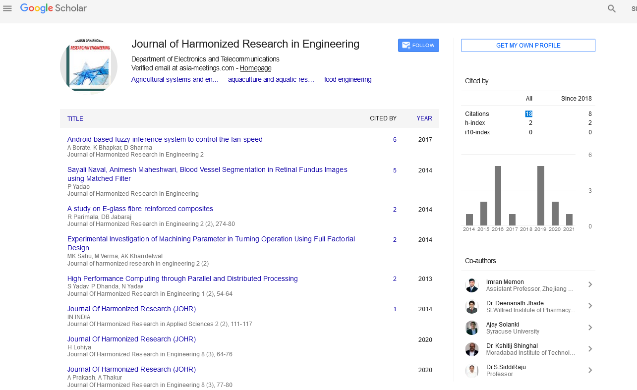
Google Scholar citation report
Citations : 43
Journal of Harmonized Research in Engineering received 43 citations as per google scholar report
